Skip to content
Over the Clouds

Over the Clouds

El plaer de recórrer valls, carenes i assolir cims

  • Cyclability
    • 🚲<80%
    • 🚲 80-90%
    • 🚲 90-95%
    • 🚲 95-99%
    • 🚲 100%
  • Difficulty
    • Green (Easy)
    • Blue (intermediate)
    • Red (difficult)
    • Black (very difficult)
  • Geography
    • Catalan Pyrenees
    • French Pyrenees
    • The Andorran Pyrenees
    • Pre-Pyrenees
    • Inland Catalonia
    • Other
  • Maximum elevation
    • ⛰<1500m
    • ⛰ 1501-2500m
    • ⛰ > 2501m
  • About Us
  • English
    • Català
    • English
    • Español
    • Français

Puigpedrós

Posted on Posted on12 April, 2020By Joan

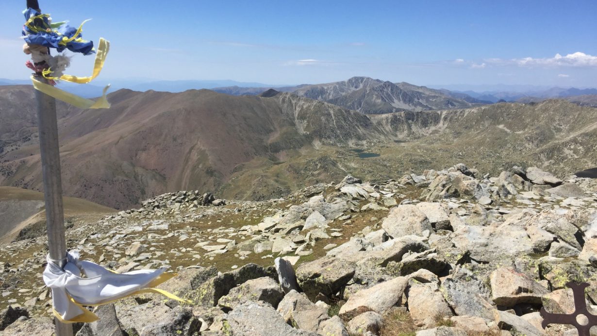
Maximum height of the route:

2,915 meters

Brief description:

Route without great difficulty climbing to one of the highest peaks of La Cerdanya

Geographical area:

Cerdanya

Cyclability

Ciclabilitat 98%

Difficulty:

Red

Route Briefing

Video of the route

Download the track of the route

19-08-17 Puigpedrós-Puigfarinós-Guils-Malniuski station Download

Image gallery

Post navigation

Previous PostMalh de Bolard i Tuc der ÒmePrevious Post
Next PostLa Carabassa-Bony del Manyer-Cercle d’EngorgsNext Post
  • YOUTUBE
Copyright © 2025 Over the Clouds | Travelore by Catch Themes
Scroll Up