Maximum height of the route:
2,388 meters
Brief description:
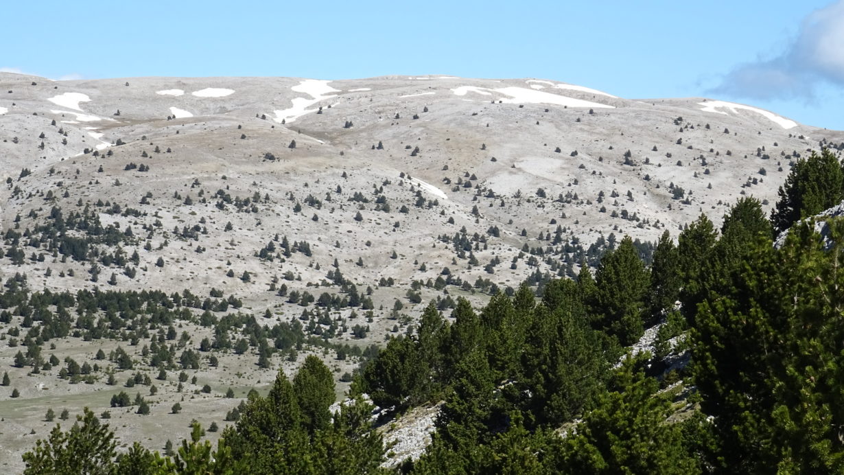
Long and hard excursion through the highest parts of the mountain range of Port d
el Comte. The point of departure and arrival is the town of Sant Lloren
ç de Morunys.Es climbs the Comarcada to Coll de Jou and from there follow the track that goes up to Pla de Bacies to the ruins of the villa of the Prats de Canalda. At this point you ascend the old path of the Costa dels Prats until you reach the large Pla de Bacies. It crosses the middle and is going to look for a path that climbs to very close to the top of the Morreres, the northernmost summit of the mountain range. You will be down the ridge with great panoramic views over the Lord Valley and Central Catalonia until you reach the sheltered Coma dels Marrans that leads us back, after passing by the Coll de la Portella, in the northern part of the Pla de Bacies which is known as Pr
at Piquer.Es crosses the track and continues up the slope opposite a marked path that leads us to a blurred track that climbs towards the head De les Pedrusques. It goes down to Coma Condessa and by some glevers we reach the head of the Serra de la Gespeguera where by a trail fairer we reached the Pedró dels Quatre Batlles, the highest pea
k of the mountain. Needless to say, from this point have excellent views. It goes north towards a next pass where we start the climb, without way, to the Tosa Pelada, third top of the route and what is further north with dilated views over the valleys of the cadi. By a path through the middle of a spectacular landscape we descend to reach the Coll de L’estivella and then the summit of the same name. From this summit we have great panoramic views over the valley of La Coma and the Serra del Verd. This last summit starts a fast descent to the Clot de la Vall where there is a large pond. At this point for a first ski slope and a vehicle track later we climb to the curious pit of the Bofia, a natural well of about 50 meters depth and considerable size. From here, the ski slopes go down to the Sucre area, and you can get to the hotel from the ski resort later on. Throu
gh the streets of the urbanization is going to look for the old road that later becomes path and is heading to the humble house of the huts and, more down, to the winters. Here we follow a little marked path to the source of Canaleta where we find a nice and very fresh path that follows the coast of Galliners to the abundant source of Cap Rec, very close to the town of San Lorenzo de Morunys. Finally for a good track and a short stretch of road we arrive again at the starting point.
Cosiderations: In
the case of fog, discard the excursion. The highest parts of the range are completely bare in vegetation and can be a very dangerous trap in case of bad weather. Th
e excursion has a considerable slope (about 2000 meters) you must be physically prepared to face this route. It is suit
able for making it from May until the arrival of the first snow. When it comes
to a high mountain route it is necessary to bring warm clothes to the backpackers. Weather in the high mountain may change suddenly.
Geographical area:
Lord Valley
Cyclability
Difficulty:
Red

